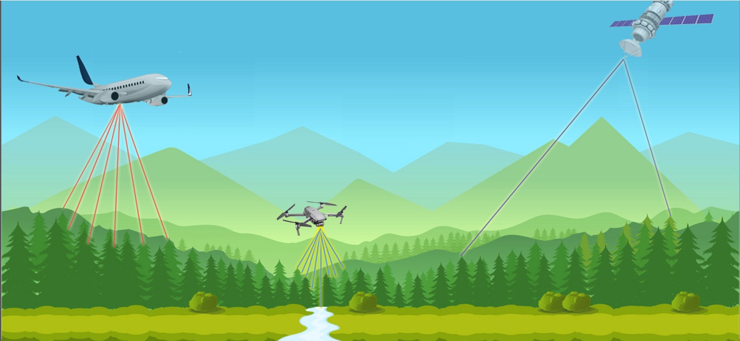
What is Remote Sensing?
Remote Sensing is the technology, science and art of obtaining information about an object, area, or phenomenon through the analysis of data acquired by a device that is not in contact with the object, area, or phenomenon under investigation.
Remote sensing can improve the integrity of your decision-making by supplementing the knowledge base of a resource-environment and its social counterparts. It can provide additional data and supplement methods used in valuating environmental resources and processes. There are a few unique advantages of remote sensing compared to traditional field-measuring techniques. For example, Remote Sensing:
is non-destructive, precise, spatially continuous, and can produce frequent observations
yields information that enhances our understanding of ecological quantities, processes, and the subsequent interactions with social systems.
can use direct measurements to estimate properties or indirectly infer other properties through contextual relations
has expanded tremendously over the past few decades and has created value when integrated into environmental concepts and practices.
There is unmet potential for bolstering ecosystem services and creating additional value for society. But impediments such as the cost and complexity of the technology, and the difficulty of readily assimilating it into a decision-making process, must be overcome to facilitate broader use. This is where 21st Century Ecology can help!