What We Offer
21st Century Ecology delivers unparalleled expertise in UAV technology, advanced data acquisition, and ecological research. Built two decades of crucial experience in the environmental science sector, our services provide precise, actionable insights tailored to natural resource managers and ecological researchers. By combining cutting-edge UAV technology with in-depth environmental knowledge and planning, we enable our clients to monitor, analyze, and manage complex landscapes efficiently and effectively.
Environmental Monitoring Consultation
Managing a large landscape can be a daunting task, let alone understanding it through a rigorous, scientific manner. UAVs and other new technology can gather incredibly rich, high-resolution data that was never possible until now. However, there are pros and cons to any approach and depending on your exact use case it might make more sense to incorporate satellites, manned-aircraft sensors, traditional ground-measured data, or most likely a combination thereof.
Knowing exactly what strategy pursue and what time, money, and resources it will require to get you there is an incredibly complex task to say the least. But that’s where we come in…

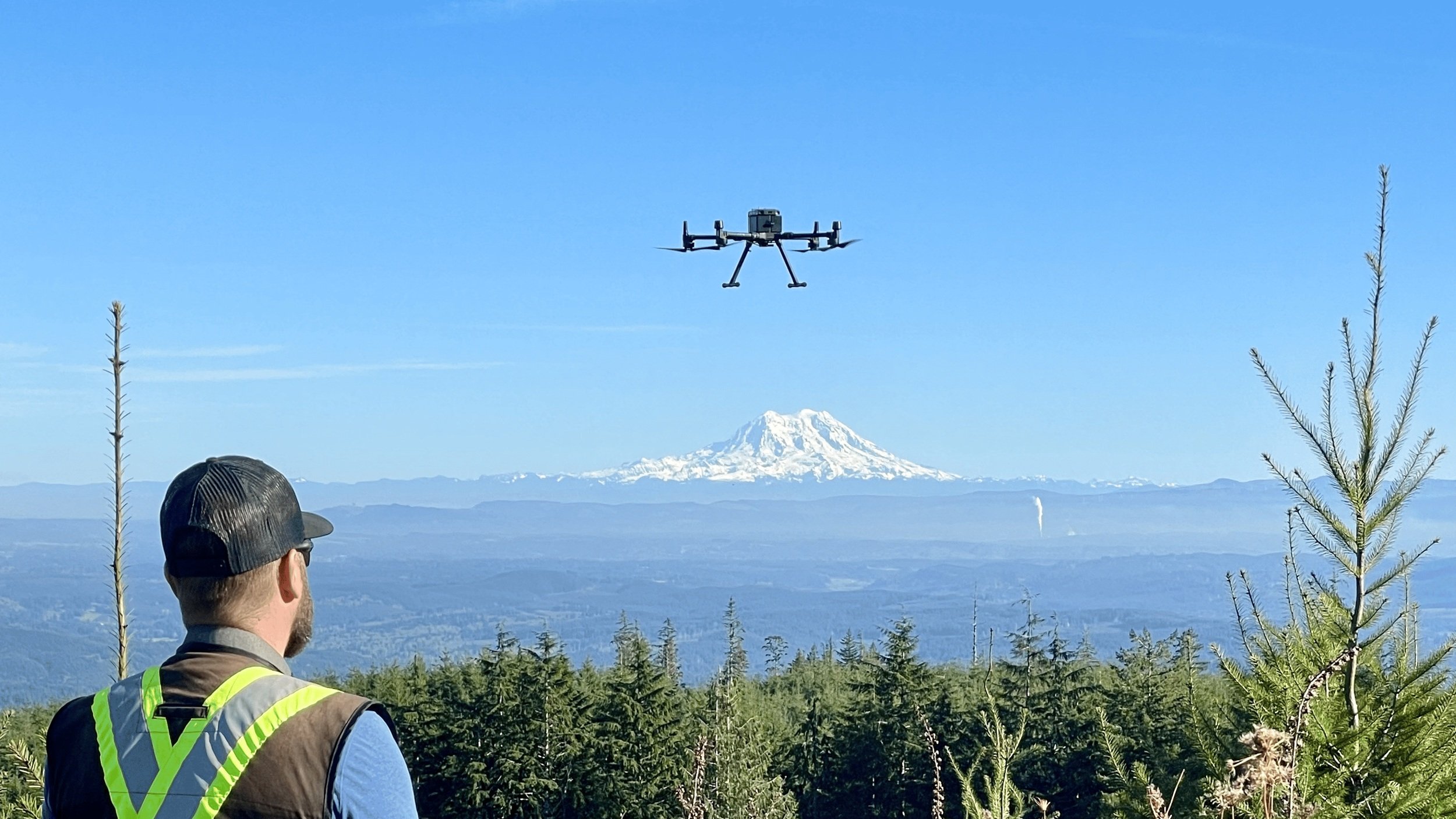
Advanced Data Acquisition
UAV flights and terrestrial data collection are conducted with meticulous planning and operational precision, followed by rigorous data processing to extract actionable insights. We have extensive experience across a variety of sensors including lidar, multispectral, hyperspectral, structure-from-motion, thermal and video. These data types serve a variety of disciplines, specifically forestry, agriculture, wildfire, geology, recreation, wetlands, and wildlife conservation.
Our services also address a range of mission sizes, from mapping a few acres to collecting data on an entire landslide which can include ground control points, ground meta-data, and high quality control during data processing.

Data Analysis & Visualization
For some businesses, accurate and high-quality UAV data will be enough. For others, there might be a need to understand how to analyze remotely-sensed data to derive actionable insights. Whether it be forming an iron-clad strategy on how to analyze the data, or generating some effective visualizations, we can help your organization translate data to information.

Education
We have a solid track record in teaching a variety of topics. Formats have been both university level courses, webinars, or one-on-one instruction:
Remote Sensing of the Environment
Landscape Ecology
Data Wrangling and Visualization
UAV Mission Planning and Execution

Research Design Consultation
Our Mission
Fostering ecological innovation and growing environmental education by helping natural resource managers bridge the domains of ecology, technology, and policy and providing the highest quality of data measurement and education.
“I have never seen this amount of detail in a ground model before… and it only took you a couple hours to do this? Incredible…”
— Jason, Engineer
What We’ve Achieved
Donec condimentum enim sit amet felis dignissim laoreet adipiscing dignissim.
Vivamus egestas urna sed lorem sagittis, id lacinia erat porta cras.
Morbi eu elit in justo auctor dignissim. Sed ultrices eget neque tellus.
Sed fermentum eget velit at eleifend. Donec volutpat est a felis pulvinar.
Donec condimentum enim sit amet felis dignissim laoreet adipiscing dignissim.
Vivamus egestas urna sed lorem sagittis, id lacinia erat porta cras.
Morbi eu elit in justo auctor dignissim. Sed ultrices eget neque tellus.
Sed fermentum eget velit at eleifend. Donec volutpat est a felis pulvinar.